
A disturbance to our west will bring shower and storm chances back to the area after midnight tonight and continuing through the day on Wednesday. A few storms may be strong to possibly severe, with damaging winds and large hail being the main threats.
The HRRR model suggests rain may arrive later tonight.

If the models are correct, we may get a break for much of the day on Wednesday before another round of storms arrives in the evening hours.

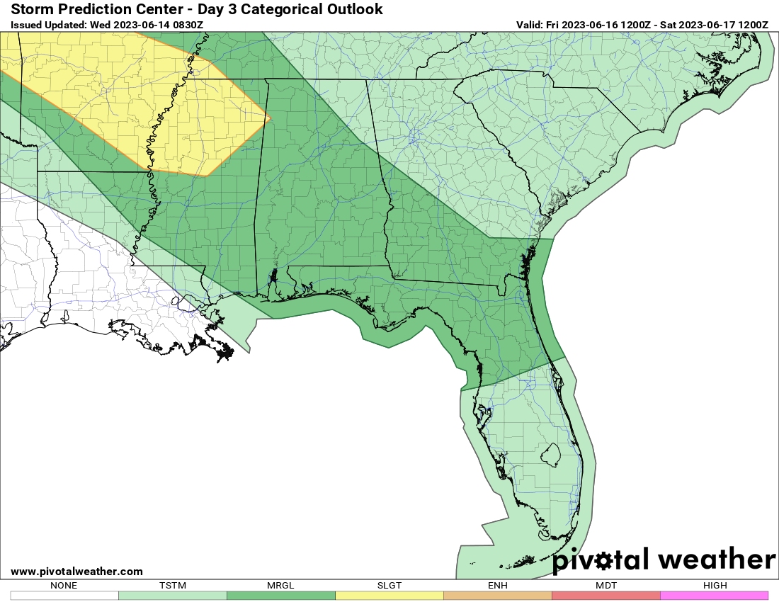
Like we mentioned before, the SPC has us in a level 1-2 severe weather risk on Wednesday. Higher severe chances the further south you go.

We will have weather updates over on our Twitter page, so go follow it now! https://twitter.com/shoals_weather
